


Haverstraw is an old industrial town in North Rockland County.
PUT-INs:
Emeline Park: There is a ramp for car-top boats in Emeline Park at the end of Main Street. There is plenty of parking for your car as well. Get Map
Town of Haverstraw Kayak Launch: The town of Haverstraw also maintains a ramp in Minisceongo Creek on Stony Point Bay. For more information, see the Stony Point Entry.
Haverstraw Bay County Park: This park has a nice launch facility with plenty of parking. They also charge $10.00 per kayak to launch during the regular season. Since the other two launches are free and are located only a mile south or north of this park, I do not recommend launching here.
ROUTES: Trips here can take you south to Nyack Beach and Nyack. Across brings you to Croton Point. North takes you to Stony Point and then into the Hudson River Highlands and Iona Marsh in Bear Mountain State Park.
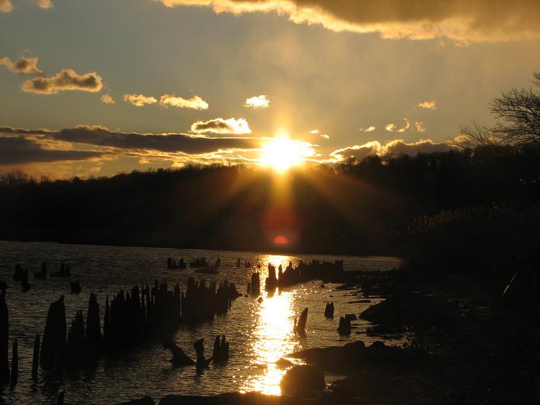
The area you are paddling is called Haverstraw Bay. The town and the bay take their name from a group of Leni-Lenape called Haverstraw that settled the area long before the arrival of the first Europeans. Haverstraw Bay is the widest section of the Hudson River. It is nearly three miles across here. As you paddle the area you can clearly see evidence of Haverstraw's industrial past (and present). It was the brick-making capital of the area. Many of the bricks used to build New York City came from here. Today, the area is still dotted with industry along this section of river. Even if you are not directly in the shipping channel, barges and the Haverstraw-Ossining ferry are common sights on this shore of the river.
|
CLICK FOR
|
 |
||||||
|
Use of the information in this guide is at your own risk. Please read our disclaimer. Copyright 2005 - by Jacob Tanenbaum. All rights are reserved.
|
|||||||