


A fjord is a steep narrow valley carved by a glacier then flooded by the sea. The Hudson River here does have many characteristics of a true fjord of Norway. The cliff walls begin just north of Peekskill and continue on each side north through West Point and Cold Spring, almost to Bannerman Castle.
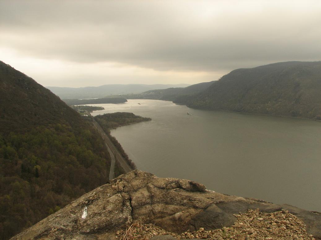
This area was carved by the ice sheets during the ice ages of the Pleistocene. Though geologists may say that the river bottom has once again been filled with sediment and the water may be too brackish here for the area to be considered a true fjord, nothing can take away from the spectacular views both from the water and from above. What a place to paddle!
What you need to know:
The gorge begins at Jones Point in Bear Mountain park. It continues up past the Bear Mountain Bridge, through West Point and World's End, past Storm King, Cold Springs, past Little Stony Point and Breakneck Ridge. The river finally widens again just south of Bannerman Island.
The area is home to two marshes: Iona in Bear Mountain, and Constitution near Cold Spring, and is frequented by a wide variety of wildlife including bears and eagles. Popolopen Creek enters the river just north of the Bear Mountain Bridge on the west side and is navigable for a short distance up from the river. Make sure the tide does not "seal you in" by rising so high you can't cross under the railroad bridge at the mouth of the creek.
The narrow river here and tricky winds make for challenging paddling. Follow the current at all times as narrow sections of any river tend to move faster than wider sections. I prefer to go out early before the afternoon winds pick up and the pleasure boat traffic increases.
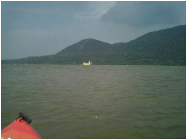
World's End is a large S turn in the river by West Point. It is the narrowest section of the river here and the currents are strong. Plan your trip so you are moving with the current as you pass through here and stay on the east side of the river to find slower water. Water on the inside edge of a bend in any river moves slower than the water on the outside edge. All good planning aside, World's End is not for novice paddlers.
 Travel
south of the Bear Mountain bridge tends to be friendly to paddlers. At the
south end, Annsville Paddlesport Center offers good landing, and the shores by
Bear Mountain offer places as well. There is even a small developed pier
and park area just south of the Bear Mountain Bridge to land if you are tired.
North of the Bridge, Popolopen Creek offers some good shoreline, however, north
of that there is little good landing until Cold
Spring. Much of the west
side of the river is a military base, and both sides have railroad tracks right up
to the river's edge. You may be in for a long paddle without much of a
break in this section, so be ready. North of Cold Spring keep to the
east side of the river for good landing at Little Stony Point.
Travel
south of the Bear Mountain bridge tends to be friendly to paddlers. At the
south end, Annsville Paddlesport Center offers good landing, and the shores by
Bear Mountain offer places as well. There is even a small developed pier
and park area just south of the Bear Mountain Bridge to land if you are tired.
North of the Bridge, Popolopen Creek offers some good shoreline, however, north
of that there is little good landing until Cold
Spring. Much of the west
side of the river is a military base, and both sides have railroad tracks right up
to the river's edge. You may be in for a long paddle without much of a
break in this section, so be ready. North of Cold Spring keep to the
east side of the river for good landing at Little Stony Point.
PUT-INs and ROUTES:
The following pages detail put-ins and areas of interest in the Highlands: Annsville, Iona Marsh, Constitution Marsh, Cold Spring, Little Stony Point and Bannerman Castle.
NOTE: See individual areas above for charts, tides and weather.
Use of the information in this guide is at your own risk. Please read our disclaimer.
Copyright 2005 - by Jacob Tanenbaum. All rights are reserved.